Our
Projects
|
|
|
|
Magat-Cagayan Watershed Management Study
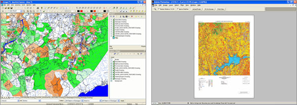
ArcView
GIS Database
This contains the digitized data for analyzing natural
and socio-economic conditions surrounding the Magat-Cagayan
River Valley using a GIS Database. The items that
were digitized are as follows:
- Topographic
Maps
The topographic features of the study were digitized
using 1:50,000 NAMRIA map. Built-up areas were
delineated as a large polygon and its attribute
information were encoded to each layer structure.
For digitizing roads, rivers and contour lines,
the duplicated mapping plate (polyester base)
was used to obtain high accuracy of topographic
positions and geometric correction. Obstructions
such as high-tension power and telephone lines
were digitized as line features while buildings
and control points were presented as point features.
Administrative boundaries were also digitized.
- Thematic
Maps
Thematics Maps classifying existing vegetation
and land cover themes were created using SPOT
Satellite Imagery. Barangay boundary were digitized
and integrated as a polygon layer in the final
GIS Database. Demographics data for the project
areas were included in the final database to provide
more analytical capability to the GIS.
» back
to top
|
|